Trail Hybrid bike La Neuveville-devant-Lépanges - massif du dossard 11 juillet 2021 - Photo

massif du dossard 11 juillet 2021

© OpenStreetMap contributors
Length
Length
33 km
Max alt
Max alt
759 m
Uphill gradient
Uphill gradient
653 m
Km-Effort
Km-Effort  
42 km
Min alt
Min alt
379 m
Downhill gradient
Downhill gradient
659 m
Boucle
Boucle
Yes
Creation date :
2021-07-11 13:07:46.448
Updated on :
2021-07-11 15:28:03.437

(0 Reviews)

Hybrid bike
Hybrid bike
2h19
Difficulty : Easy

Scan this QR Code to open this trail in the SityTrail application

FREE GPS app for hiking

Logo SityTrail SityTrail

IGN / Geographical institutes

Download SityTrail from the App Store Download SityTrail from Google Play

Logo SityTrail SityTrail World

The world is yours!

Download SityTrail from the App Store Download SityTrail from Google Play Download SityTrail on Huawei AppGallery

About

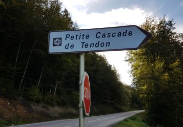
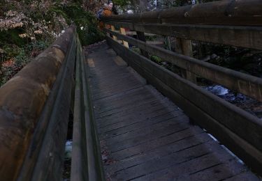
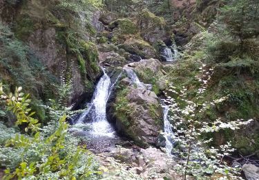
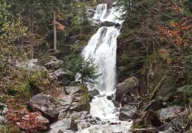
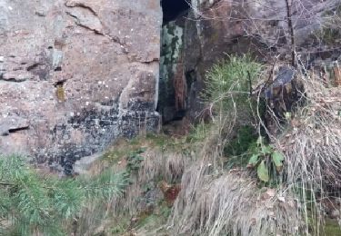
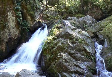
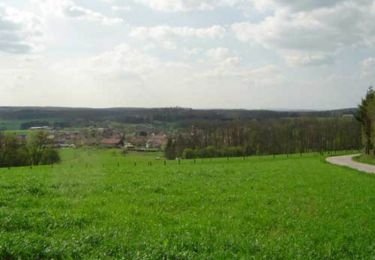
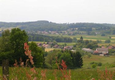
Trail Hybrid bike of 33 km to be discovered at Grand Est, Vosges, La Neuveville-devant-Lépanges. This trail is proposed by jfrobert88.

Elevation profile

Photos

Positioning

Country:
France
Region :
Grand Est
Department/Province :
Vosges
Municipality :
La Neuveville-devant-Lépanges
Location:
Unknown
Start:(UTM)
325025 ; 5335911 (32U) N.

Trails nearby

Trail Walking Tendon - Cascades de Tendon - Trou de l'Enfer - Roches de la Moulure - Photo
Walking
Bart2015

Walking

Medium
(3)
Tendon, Grand Est, Vosges, France
20 km | 28 km-effort
5h 33min
Yes
Trail Walking Tendon - cascade  - Photo
Walking
aubr

Walking

Very difficult
Tendon, Grand Est, Vosges, France
20 km | 25 km-effort
1h 51min
No
Trail Walking Tendon - cascade du tendon - Photo
Walking
ghislaine61

Walking

Difficult
Tendon, Grand Est, Vosges, France
8.6 km | 12.2 km-effort
2h 44min
Yes
Trail Walking Tendon - 18-11-23 cascade de Tendon - Photo
Walking
annefrance70

Walking

Medium
Tendon, Grand Est, Vosges, France
7.3 km | 10.3 km-effort
1h 53min
Yes
Trail Walking Fiménil - 2017 03 14 - Photo
Walking
michelbauby

Walking

Medium
Fiménil, Grand Est, Vosges, France
10.1 km | 13.3 km-effort
2h 53min
Yes
Trail Walking Tendon - tendon - Photo
Walking
lacote

Walking

Medium
Tendon, Grand Est, Vosges, France
9 km | 13.2 km-effort
2h 43min
No
Trail Walking Tendon - Les deux cascades de Tendon - Photo
Walking
tracegps

Walking

Medium
(2)
Tendon, Grand Est, Vosges, France
6.3 km | 9.2 km-effort
2h 30min
Yes
Trail Mountain bike Charmois-devant-Bruyères - Espace VTT FFC Chemins du Coeur des Vosges - circuit n°69 - Le Montet  - Photo
Mountain bike
tracegps

Mountain bike

Difficult
Charmois-devant-Bruyères, Grand Est, Vosges, France
10.5 km | 12.9 km-effort
1h 0min
Yes
Trail Mountain bike Charmois-devant-Bruyères - Espace VTT FFC Chemins du Coeur des Vosges - circuit n°68 - Marincôte - Photo
Mountain bike
tracegps

Mountain bike

Medium
Charmois-devant-Bruyères, Grand Est, Vosges, France
6.7 km | 8.4 km-effort
30min
Yes


Close
My subscriptions